Understanding Image Coordinate Systems That Actually Work
Image processing relies on image coordinate systems. These systems are frameworks defining the location of each pixel within a digital image. They provide the mathematical structure for understanding spatial relationships between image elements. This is fundamental for various operations, from basic edits like cropping and resizing to complex computer vision analyses.
For instance, imagine selecting a specific area within an image. Precisely defining the boundaries of this selection would be impossible without a coordinate system. Many image processing algorithms use coordinate information for calculations, such as applying filters or detecting edges. Therefore, understanding image coordinate systems is crucial for anyone working with digital images.
Various image coordinate systems exist, each with its own strengths and weaknesses. One key difference is the origin's location. Some systems place the origin at the top-left corner, while others use the bottom-left. The direction of the axes can also vary. Understanding these differences is crucial for accurately interpreting and manipulating image data.
Two Primary Coordinate Systems
Image processing primarily employs two coordinate systems: matrix and graphics. The matrix system maps pixel locations to row and column indices within the data matrix. Rows progress from top to bottom, and columns from left to right. The Wolfram Language frequently uses this system for functions like GaussianFilter.
The graphics coordinate system, conversely, places the origin at the bottom-left corner. The x-axis extends left to right, and the y-axis upwards. Functions requiring precise spatial positioning, like ImageCrop and ImageValue, utilize this system. The choice between systems depends on the application. The matrix system suits numerical computations, while the graphics system is better for visualizations. Learn more about these systems and their applications here.
Key Considerations When Working with Image Coordinate Systems
Several factors are important when working with image coordinate systems:
-
System Selection: Choose the most appropriate system for your task. Matrix systems are generally preferred for numerical operations, while graphics systems are often more intuitive for visualization.
-
Units: Understand the units used. Some systems use pixels, while others might employ physical units like millimeters.
-
Transformations: Knowing how to convert between different coordinate systems is vital when working with multiple image sources or software packages.
Understanding image coordinate systems unlocks the full potential of digital image processing. It establishes a solid base for more advanced techniques in computer vision and image analysis.
Matrix vs. Graphics: Choosing the Right Coordinate System
As we've established, image coordinate systems are fundamental for working with digital images. Now, let's explore the two most common systems: matrix and graphics coordinate systems. Understanding their differences is crucial for accurate image processing and achieving optimal results in your projects.
Origin and Axes: The Core Distinctions
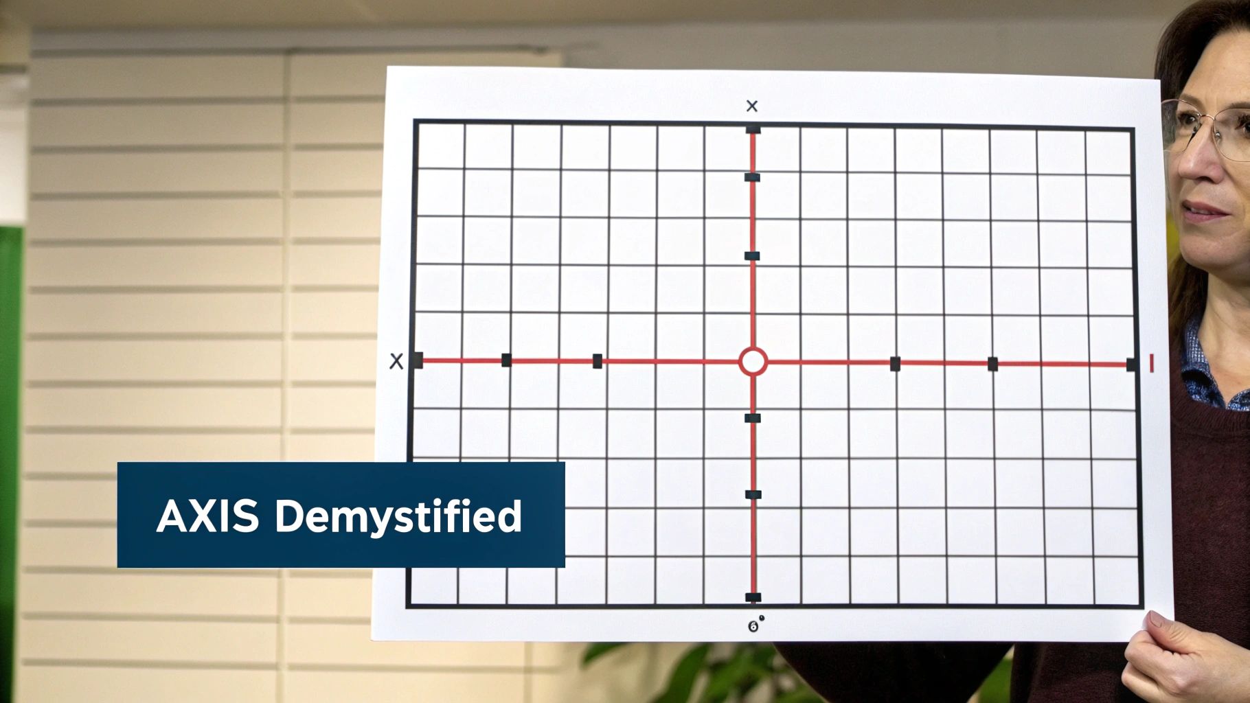
The key difference lies in the origin and axes. In a matrix coordinate system, the origin (0,0) is at the top-left corner. The y-axis increases downwards, while the x-axis increases to the right. This structure mirrors how data is organized in computer memory, making it efficient for numerical operations.
The graphics coordinate system, however, places the origin (0,0) at the bottom-left corner. The y-axis increases upwards, and the x-axis increases to the right. This convention is common in computer graphics and aligns with standard 2D visualization.
Choosing the Right System for Your Task
Your choice depends on the application. For numerical computations like applying filters or performing matrix operations, the matrix system is often more efficient due to its direct mapping between pixel locations and array indices.
For tasks involving visualization or user interaction, the graphics coordinate system is generally preferred. Its coordinates align more naturally with visual representation, simplifying the logic for graphical operations and user interfaces.
Seamless Transitions and Transformation Pitfalls
Transitioning between these systems requires careful attention. This conversion typically involves shifting the origin and potentially flipping the y-axis. To illustrate the key differences, let's examine the following table:
To further clarify the distinctions, the following table summarizes the key characteristics:
| Characteristic | Matrix Coordinate System | Graphics Coordinate System |
|---|---|---|
| Origin | Top-Left | Bottom-Left |
| Y-Axis Direction | Downwards | Upwards |
| Typical Applications | Numerical Computations, Data Processing | Visualization, User Interfaces |
For example, when using a library based on a matrix system and displaying results using a graphics system, you must adjust the y-coordinates. Understanding these transformations is essential for accuracy and avoiding unexpected behavior in your image processing pipelines. Incorrect handling can lead to misaligned images or flawed calculations. Therefore, selecting the appropriate coordinate system is paramount for your project's success.
Medical Imaging: Where Coordinate Precision Saves Lives

In medical imaging, the image coordinate system is paramount. Its precision impacts everything from the accuracy of diagnoses to the effectiveness of treatments. This isn't just about technical specifications; it's about ensuring the best possible patient outcomes. Leading healthcare institutions recognize this, using standardized coordinate frameworks to achieve remarkable precision in various applications.
Precise Tumor Targeting and Surgical Navigation
These systems are vital for targeted therapies, particularly in oncology. They allow for precise tumor localization within a 3D image, enabling focused radiation treatments. This level of accuracy minimizes damage to surrounding healthy tissue, a key factor in improving patient prognosis. Similarly, in surgical navigation, these systems guide surgeons, enhancing accuracy and reducing invasiveness.
Image coordinate systems also play a vital role in integrating different imaging modalities. Data from MRI, CT, and ultrasound scans can be combined within a unified coordinate framework. This comprehensive view empowers medical professionals to make more informed decisions, crucial for complex diagnostic and surgical planning.
Standardization and Equipment Compatibility
Historically, the development of image coordinate systems faced challenges in equipment compatibility. Different manufacturers often employed varying systems, complicating data integration. Increased standardization is addressing this issue, allowing for more efficient data sharing and collaboration between institutions. This progress is crucial for advancing medical knowledge and developing new treatments. Consistent application of standardized systems also ensures greater reliability in medical imaging data.
In medical imaging, coordinate systems are essential, especially in tools like 3D Slicer. This software uses three primary coordinate systems:
- World Coordinates: A fixed framework for positioning models or patients.
- Anatomical Coordinates: Aligned with human anatomy (e.g., Left-Posterior-Superior or Right-Anterior-Superior).
- Image Coordinates: Specific to how images are acquired and stored, with axes defined by the scanner's detection system.
Historically, different manufacturers used different systems; for example, GE used RAS, while Siemens used LPS. By the early 2000s, these systems were widely adopted, with Slicer using RAS internally and assuming LPS for external data unless specified otherwise. Explore this topic further here.
Groundbreaking Applications in Radiation Therapy and Robotic Surgery
Image coordinate systems are essential to advanced medical techniques. In radiation therapy planning, they define the target area with high accuracy, optimizing radiation delivery and sparing healthy tissues. In robotic surgery, they provide real-time tracking of instruments within the surgical field, enhancing precision and control for minimally invasive procedures.
These advancements are significantly improving medical care. They enable new levels of precision in diagnosis and treatment, translating to improved patient outcomes and a higher quality of life. The continued development of image coordinate systems drives further advancements in medical imaging technology, pushing the boundaries of what's possible in healthcare.
Astronomical Imaging: Mapping the Cosmos Accurately

The image coordinate system takes on a new meaning when applied to the vastness of space. Astronomical imaging requires specialized coordinate systems, going beyond the limitations of Earth-based mapping. These systems have fundamentally changed our ability to study and understand celestial events.
Tracking Solar Surface Features and Cosmic Structures
Astronomers use specialized coordinate systems to accurately map the cosmos. Solar physicists, for instance, track features on the Sun’s surface like sunspots and solar flares. This tracking helps us understand solar activity and its effects on Earth. These systems are also critical for creating three-dimensional models of cosmic structures, allowing us to map the distribution of galaxies and other celestial bodies. We can now visualize and explore the universe in greater detail than ever before.
Image coordinate systems also play a vital role in combining data from multiple spacecraft. Missions like STEREO, which uses two spacecraft to observe the Sun from different angles, rely on precise coordinate systems to integrate their observations. This combined data provides a more complete picture of solar activity and how it changes over time.
Historically, the development of these coordinate systems in astronomy was essential for analyzing solar image data. A 2006 paper in Astronomy & Astrophysics details formal systems for describing solar image coordinates, including heliographic and heliocentric coordinates. These systems are essential for analyzing solar events from varying observational perspectives. Extending these coordinate systems to non-terrestrial vantage points, such as those offered by the STEREO mission, has significantly advanced solar research. Scientists can now study the Sun in three dimensions, providing new insights into the Sun's magnetic field and solar wind. Learn more about this research here.
International Collaboration and Data Sharing
Standardized coordinate systems facilitate international research collaborations. These systems allow for seamless data sharing between research teams around the world. This collaboration accelerates discoveries in solar physics and improves our ability to predict space weather. Accurately correlating data from different sources is critical to understanding complex cosmic events.
Transforming Our Understanding of the Universe
Innovations in image coordinate systems have changed the way we visualize and analyze the universe. They provide the tools to map the cosmos with incredible precision, leading to a more profound understanding of celestial phenomena. As technology continues to evolve, these coordinate systems will undoubtedly play an even greater role in our ongoing exploration of the universe.
Earth Observation: Transforming Satellite Data Into Insights
Satellite imagery offers compelling visuals, but realizing its full potential requires a structured approach. This structure is provided by the image coordinate system, the cornerstone of transforming raw satellite data into usable geospatial intelligence. Without this system, satellite images remain visually appealing but analytically limited.
Georeferencing: Anchoring Images to Real-World Locations
Geospatial professionals rely on sophisticated coordinate systems to pinpoint locations on the Earth's surface. This process, known as georeferencing, connects every pixel in a satellite image to a specific geographic coordinate. This link is essential for integrating satellite imagery with Geographic Information Systems (GIS) and performing accurate spatial analysis.
This precise mapping facilitates the analysis of spatial features and terrain. For instance, the U.S. Geological Survey provides topographical data sampled at 30-meter intervals, used to construct multi-dimensional array databases.
SAR Imaging and Coordinate Systems
The use of coordinate systems has proven invaluable in remote sensing applications, particularly in Synthetic Aperture Radar (SAR) imaging. SAR image processing uses spatial coordinates corresponding to the terrain's digital elevation models. By the 1980s, NASA was already developing techniques to analyze and rectify SAR images, improving the accuracy of textural and spatial feature extraction through simulation models. You can explore this historical development further here.
Overcoming Challenges: Earth's Curvature and Atmospheric Distortion
Georeferencing satellite imagery presents inherent challenges. The Earth's curvature and atmospheric distortions introduce errors into image coordinate systems. Specialized algorithms and techniques are employed to correct these distortions, ensuring accurate placement of image features on the Earth's surface. This precision is fundamental for applications such as environmental monitoring and urban planning.
Real-World Applications: From Disaster Response to Climate Change Monitoring
Accurate image coordinate systems have broad practical applications. In disaster response, precisely georeferenced imagery allows emergency teams to effectively assess damage, locate survivors, and coordinate rescue efforts. Climate researchers use these systems to monitor deforestation, glacial melt, and other environmental shifts with exceptional accuracy.
Enabling Precise SAR Analysis and Integration with GIS
Image coordinate systems are crucial for analyzing SAR data, enabling precise measurements of terrain elevation and surface roughness. This information is invaluable for geological surveys and environmental monitoring.
The integration of satellite imagery with GIS also relies heavily on accurate coordinate systems, facilitating complex spatial analyses that combine satellite data with other geospatial datasets. This provides a more holistic understanding of geographical phenomena. These fundamental coordinate frameworks ultimately allow us to extract meaningful insights from satellite data, transforming images into powerful tools for understanding and managing our planet.
Computer Vision Transformations That Drive Innovation
The image coordinate system forms the foundation of computer vision, connecting the 2D images captured by cameras to our 3D world. These coordinate transformations are the invisible force behind innovations in fields like augmented reality (AR), self-driving cars, and robotics.
From 2D Images to 3D Understanding
Imagine building a robot that can pick up a specific object. The robot's camera captures a 2D image, but to grasp the object, it needs to understand its 3D location. This is where coordinate transformations are essential. They map points from the 2D image to the 3D world, allowing the robot to perceive depth and distance.
This process relies on several key transformations:
-
Homogeneous Coordinates: These coordinates add an extra dimension to standard 2D or 3D coordinates. This allows efficient representation of translations, rotations, and scaling using matrix operations, crucial for handling 3D transformations in computer vision.
-
Perspective Transformations: These transformations account for how a camera perceives the world, correcting distortions created by perspective. For example, parallel lines in reality appear to converge in a photograph; these transformations rectify this distortion. This correction is vital for accurate 3D reconstruction.
-
Camera Calibration: This process determines the intrinsic and extrinsic parameters of the camera. Intrinsic parameters describe the internal characteristics of the camera, like focal length and sensor size. Extrinsic parameters describe the camera's position and orientation in the world. Precise camera calibration is essential for accurate mapping between the image and the real world.
To understand these transformations better, let's examine a table summarizing their applications and mathematical representations:
Common Coordinate Transformations in Vision: This table outlines key coordinate transformations used in computer vision, their simplified mathematical representations, and practical use cases.
| Transformation Type | Mathematical Representation (Simplified) | Common Applications |
|---|---|---|
| Translation | P' = P + T | Object tracking, image alignment |
| Rotation | P' = R * P | Image rotation, object pose estimation |
| Scaling | P' = S * P | Image resizing, object size estimation |
| Perspective Transformation | P' = H * P | 3D reconstruction, camera calibration |
This table showcases how different mathematical operations underpin various computer vision tasks. From simple translations to complex perspective changes, understanding these transformations is crucial.
Practical Implementations and Challenges
These coordinate transformations underpin many computer vision applications:
-
Facial Recognition: Identifying faces requires mapping 2D facial features in images to a 3D model, relying heavily on understanding the camera's perspective and correcting distortions.
-
Autonomous Navigation: Self-driving cars depend on image coordinate systems for navigation. These transformations help the car's vision system understand the road, other vehicles, and pedestrians in 3D space.
-
Industrial Robotics: Robots use coordinate transformations for precise object manipulation. Mapping image coordinates to robot coordinates ensures accuracy in tasks like assembly and inspection.
However, implementing these transformations in real-world systems comes with challenges:
-
Computational Efficiency: Calculations need to be efficient enough for real-time performance, especially in applications like autonomous navigation and robotics.
-
Real-Time Accuracy: Accuracy is paramount for safety-critical applications like self-driving cars, where small errors can have major consequences.
Leading companies tackle these challenges through optimized algorithms and specialized hardware like GPUs and dedicated processors to ensure fast and accurate calculations for reliable vision systems. These advancements continuously push the boundaries of computer vision.
Image Coordinate Best Practices You Can Implement Today
This section offers practical guidance on effectively using image coordinate systems, drawing on best practices from various fields. These techniques can help prevent errors, facilitate smoother collaboration, and ensure consistent results.
Documentation: The Key to Consistency
Clear and comprehensive documentation is essential when using image coordinate systems. It's vital to document the specific system, including the origin location, axis direction, and units (pixels, millimeters, etc.). This documentation should be readily accessible to all project stakeholders. This simple step greatly reduces the chances of misinterpretations and inconsistencies.
Standardization: Streamlining Collaboration
Standardization protocols are crucial for seamless data exchange and interoperability between different software and teams. For instance, agreeing on a common coordinate system for a project, even if individual software tools employ varying internal systems, streamlines data integration and collaborative analysis. This is particularly important for large projects involving multiple teams or datasets from diverse sources.
Quality Control: Catching Errors Early
Implementing quality control checks throughout the image processing pipeline is crucial for early detection of coordinate-related issues. Visual inspections of transformed images, for example, can readily identify errors like misalignment or incorrect scaling. Automated tests can also verify coordinate transformations and maintain data integrity. These proactive measures prevent the propagation of errors throughout the workflow, ultimately saving time and resources.
Choosing the Right Coordinate System
The ideal image coordinate system depends on the specific application. Consider the precise requirements of your project. For image manipulation and display, graphics coordinate systems are generally preferred. For numerical processing and algorithm development, matrix coordinate systems are often a more natural fit. Aligning the coordinate system with its intended use is essential for maximizing efficiency and minimizing unnecessary conversions.
Managing Transformations Efficiently
When transforming between coordinate systems, meticulous documentation of each step is crucial for debugging and reproducibility. If working with multiple data sources, transform all coordinates into a common system before analysis to guarantee consistency and accuracy in the results.
Integrating Data From Multiple Sources
Integrating data from diverse sources frequently necessitates careful attention to image coordinate systems. Each source may use a different system. Understanding these differences is the first step, followed by transforming all coordinates into a unified system before combining the data for analysis.
Emerging Trends: 3D/4D Spatiotemporal Coordinates and Machine Learning
Advancements in imaging technology are driving the increased use of 3D and 4D spatiotemporal coordinate systems. These systems incorporate temporal data, enabling the tracking of changes over time. Machine Learning is also reshaping image coordinate handling. Algorithms can be trained to automatically identify and rectify coordinate errors, improving both accuracy and efficiency. Staying informed about these trends allows for adaptation to the ever-evolving field of image processing.
Want to seamlessly integrate these best practices into your medical imaging projects? PYCAD offers comprehensive AI solutions for medical imaging, streamlining data handling, model training, and deployment. Visit PYCAD to learn more and optimize your medical devices for enhanced diagnostic accuracy and operational efficiency.